ads

Translate

Wednesday, December 26, 2012

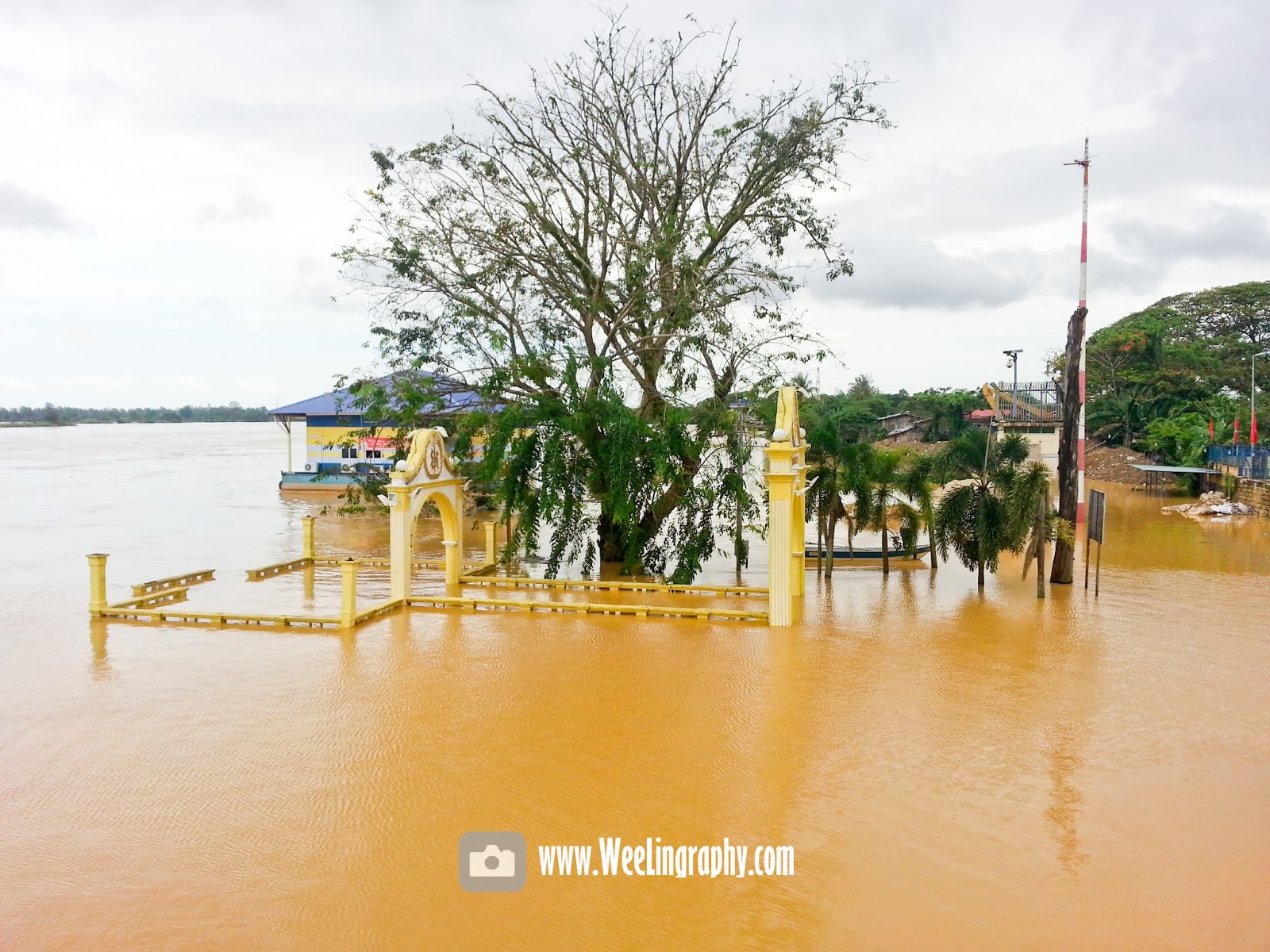
Flood in Kelantan , Banjir di Kelantan 2012-2013


latest update click here
2013-2014 kelantan flood update


Update 2/27/13 11P.M

Sungai Golok at Rantau Panjang  10.39m ( Danger Level)

Tanga Krai READING 22.91 meter ( warning level )

Tambatan D'raja READING 4.60 meter ( warning level )


Update 2/27/13 6 P.M

Sungai Golok at Rantau Panjang  10.40m ( Danger Level)


Tambatan D'raja READING 4.64 meter ( warning level )
water is decreasing

kid playing flood water


Update 2/27/13 2 P.M
Sungai Golok at Rantau Panjang  10.41m ( Danger Level)


Tambatan D'raja READING 4.68 meter ( warning level )


Update 1/5/13 1.00P.M
Most of the river is declining now and drop below danger level except Sungai Golok at Rantau Panjang which still at 10.07m ( Danger Level)  

Update 12/27/12 3P.M
Most of the river is declining now and drop below danger level except Sungai Golok at Rantau Panjang which still at 10.24m ( Danger Level)  

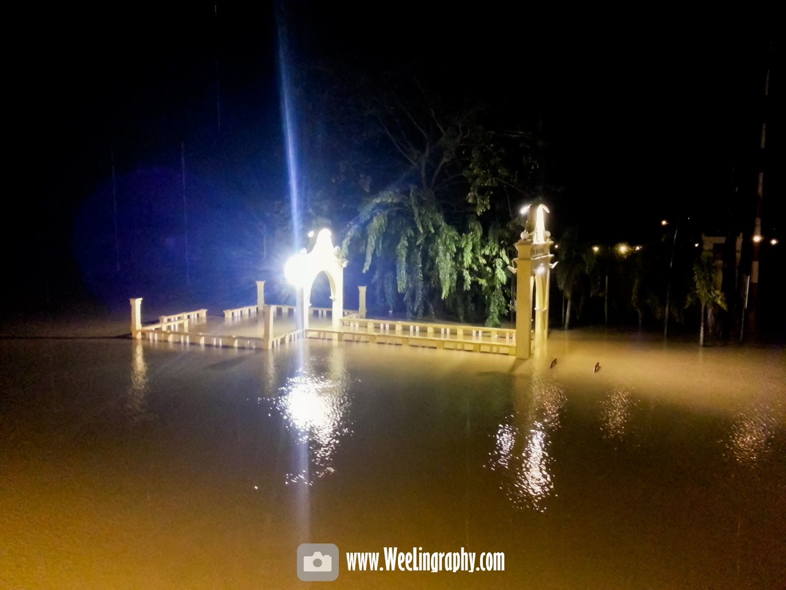
 Flood situation at Tambatan D'raja
1.30A.M 26/12/12 READING 4.45 meter ( warning level
6P.M  25/12/12 READING 4.18 meter ( warning level


Flood situation at Rantau Panjang 
25/12/12 READING 10.47 meter ( Danger level
 rescue boat 
 gas station is submerged 
 everywhere is water
 only 4x4 car can go through 
 wandering in the flood water
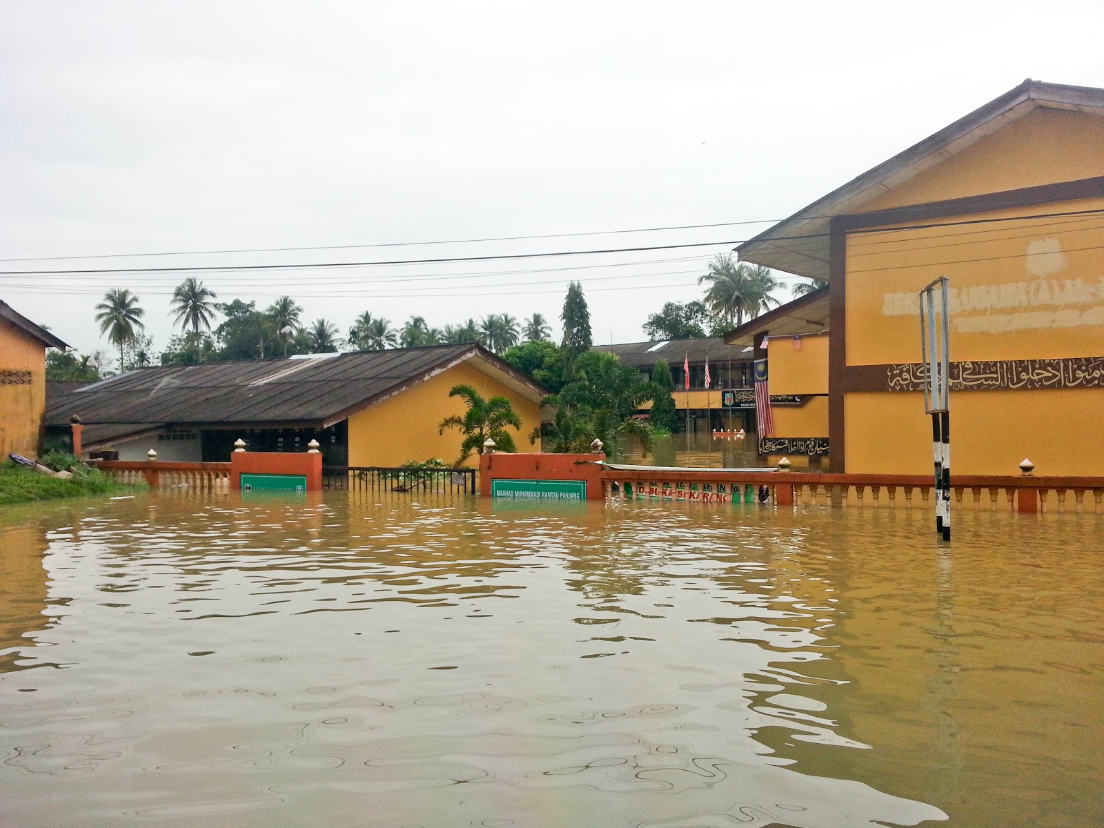
 school is flooded
 another school
Bomba rescuing victims from the flood by boat. 


Monday, November 12, 2012

Gunung stong Forest Park ( Jelawang waterfall), Dabong, Kelantan, Malaysia.

Introduction:
The Gunung Stong State Forest Park (GSSFP) located at Dabong, Kelantan, covers some 157,087 ha of forest; is one of the top 5 ecotourism destinations in Malaysia covering some oldest rain forest in the world. It's popular for visitor from Malaysia and Singapore with an estimated 10,000 visitor per annum. It's famous for the purportedly highest waterfall in South east asia,  jelawang waterfall ( 309m), it's so high that you can saw it from far away. Gunung stong ( 1,422 m) is about 4-5 hours from Baha Camp ( 1-2 hours hike to Baha Camp site) and another 3-4 hours return trip. Baha Camp is where you will spend most of the time there, swim in the natural rock pool, watching sunrise from the waterfall and the magnificent panoramic view of Dabong. Besides the view the forest reserve also rich in fauna and flora that some native plant only grow here.

Tips:
book a guide in advance to make sure you won't lost in the jungle
hiking attire and equipment 
enough foods and water.
contact relevant department before hike.

Attractions:

Trails
There is numerous trails within GSSFP include Gunung Ayam, Gunung Stong, Gunung Tera,Gunung Che Tahir, Sungai Semuliang, Seven Summits, Lasr waterfall and Gua Ikan cave. ( Gunung is mountain in Malay) 


Animals:
elephant, tiger, Malayan tapir,Malayan sun bear, siamang, leapard cat ( prionailurus bengalensis), black panther, serow, pig-tailed macaque, barking deer, banded linsang and banded leaf-monkey.

Plants:
Holtummochloa pubescebs ( small bamboo), Licuala stongensis ( fan palm), orchids, wild gingers, rafflesia ( world's largest flower) , etc. 

Nearby attractions:
Contacts:
Jelawang, Dabong
18200 Kampong Jeram Rambai
09-9362000


How to get there:
By train from Kuala Lumpur to Dabong
By car , drive to Dabong
By flight ( fly to Kota Bharu then either take train or rent a car there)

Map:

View Larger Map


Reference:

The magnificent sunrise view from jelawang waterfall
Jelawang fall from far away
playing sepak takraw at the baha base camp
our tent at baha base camp
The waterfall where we take shower 
the kitchen

the natural slide

view from peak of Gunung Stong

Wednesday, November 7, 2012

Gua Kelam ( Cave of darkness) , Perlis, Malaysia.

Introduction:
Gua Kelam ( Cave of darkness) located near to Kaki Bukit 36km from Kangar, Perlis, Malaysia , about 3km away from Thailand border. Its a natural cave system that stretched approximately 370m in the limestone hill.  During 1920's Gua kelam is famous for it tin mining industry and it also a important gateway for villager from Kaki Bukit and Wang Kelian to pass by. Now there is a man made pathway that build above the river in the cave to the other end. At the other end there is a secret garden, with pond, garden and staircases to another cave

tips:
contact Perlis forestry before go there, the door might be close
wear sport shoe for more comfortable hike
appropriate sport wear


Attractions:
Cave, wildlife, stalagmite, river, secret garden, hiking, etc. 


Contacts: 

Jabatan Perhutanan Negeri Perlis
Km 2, Jalan Kaki Bukit, 01000 Kangar, Perlis Malaysia. 
Tel: 04-9776626, 04-9765966 
Fax: 04-9767901

Email : forestry@perlisforestry.gov.my


Admission Fees:
Adult: RM1
Child: RM 0.50

Map:

View Gua Kelam in a larger map

inside Gua Kelam
 The entrance of Gua Kelam 
 Entrance of Gua Kelam
 The robust wall of Gua Kelam
 The dim lighting let you enjoy the atmosphere

 the beautiful Gua Kelam
 the sculpture in Gua Kelam 

 the river in Gua Kelam


 another end of the cave

The path to secret garden of Gua Kelam
 The pond at secret garden of Gua Kelam
 The staircases to another cave in Gua Kelam
 secret garden Gua Kelam
 secret garden Gua Kelam
 secret garden Gua Kelam
secret garden Gua Kelam
The "water park at the entrance"

Friday, October 12, 2012

Seopjikoji (섭지코지), Jeju-do, South Korea.

Introduction:
Seopjikoji (섭지코지), located eastern of the Jeju-do is a coastal area with beautiful view of the sea and cliff. It was the filming place of the "All In" Korean Drama. There are dedicated walkway for tourist to hike around it. Besides that there is a church and a lighthouse within walking distance.


Tips:
During summer please apply sunscreen as the sun might burn you.
Wear some  wind breaker as the wind might get strong.
Light wear for hiking.
Drink plenty of water to prevent dehydration.

Attractions:
Beautiful beach, Seongsan Ilchubong from the beach, Seopjikoji lighthouse, hiking.

Contacts:
Seogwipo-si Seongsan-eup Sinyang-ri

Coordinates: 33°25'24"N   126°55'47"E
Opening hours: 07:00 – 20:00

Admission fee: Free
Parking: 1000 won


Nearby Attractions:


Map:

View Larger Map


The beautiful view of the coastal of Seopjikoji
Lighthouse with the beautiful Seopjikoji beach
Seopjikoji beach
Seopjikoji beach
Seopjikoji beach

Sunday, October 7, 2012

Antelope Canyon, near Page, Arizona, USA.

Introduction :
Antelope Canyon located near to Page, Arizona, United States. It's the most photographed and visited canyon in southwest America. It consists of two part, upper Antelope  Canyon and Lower Antelope Canyon. Upper Antelope Canyon also called Tsé bighánílíní in Navajo name which mean " place where water runs through rocks". It's carved by flash floods which exposed the beautiful curve and colorful rock walls. It's about 4,000 ft elevation and canyon walls rise 120 ft above ground. Visit during noon where sunlight is abundant, this condition will create strong sunlight beam in the canyon. There is no climbing needed for Upper Antelope Canyon because all are at ground level, but remember to avoid peak season, when large amount of people will visit the canyon, it kind of hard to move around in the narrow canyon.

Tips:
Do get reservation before going ( book in advance to make sure there is a spot)
don't go on peak season
all tour are guided ( so book in advance) 
Bring your camera ( one of the most beautiful place on earth) 

Attractions:
Hiking, canyon, rocks, beautiful sunlight beam, 


Contacts:

5975 East Highway 98, Page, AZ 86040
United States
(928) 698-2808


Nearby attractions:
Glen Canyon Dam
Horseshoe Bend
Bryce Canyon
Zion National Park


Map:

 At Navajo shop
before heading to ANtelope Canyon by 4x4
 factory while on the way
 half way to go
the entrance
the beautiful rocks

 Outside the end of the Antelope Canyon
 Antelope Canyon sunlight beam

ads

Related Posts Plugin for WordPress, Blogger...